DTM rasters
A DTM raster layer is generally similar to an imagery raster layer. The differences are the layer type (DTM_RASTER), the absence of groups, and the image format.
There is also no alpha channel in DTM rasters (and blending options have no effect). However there may be nodata pixels. In order to obtain the desired composite DTM, the values DISCARD_NODATA_PIXELS and SET_NODATA_TO_ZERO of the enumeration NodataHandling can be useful.
Multiple DTM layers can used simultaneously. By default, the layer with at the highest slot takes precedence. Nodata values and handling allow falling back to the elevation value of a layer at a lower slot if a higher layer does not have one.
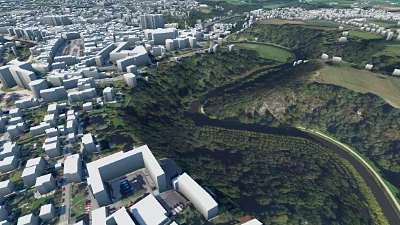
DTM & LOD 1 buildings
Go to gallery demo
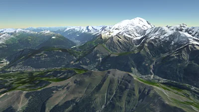
IGN SRTM DTM
Go to gallery demo
Data formats
There are two supported source types for elevation data: heightmap images and Cesium terrain tiles.
Heightmap image tiles
These tiles are regular images, but instead of each pixel having a colour, they contain elevation values. All raster image formats containing scalar values are supported.
Heightmap tiles can be retrieved by any raster provider that supports specifying the image format, such as the tiled image provider, or the single image provider.
Cesium terrain tiles
Horizon can also load terrain tiles that follow the format specification for Cesium. They can be retrieved by using the Cesium terrain tiles raster provider. The parameter URL must point to the tileset directory, which contains the layer.json descriptor file.
The provider sets up the geometry automatically, according to the descriptor.
Scene view configuration
Contrarily to imagery raster layers, DTM raster layers cannot have they visibility configured per view. All DTM layers are always used combined together.
It is however possible to opt out of DTM raster layers entirely for a given scene view, in the terrain settings.