


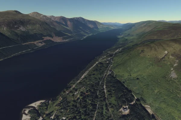
Terrain & raster streaming
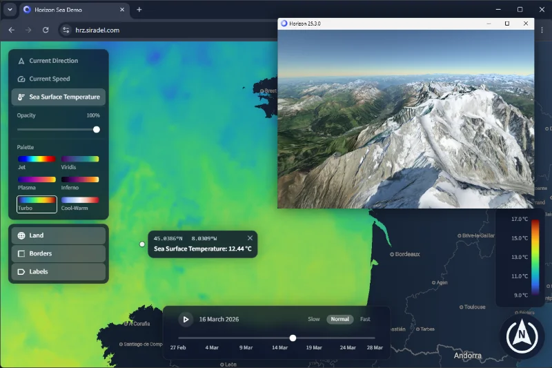
Stream tens of imagery or DTM layers simultaneously, from global to centimeter resolution. Colorize data rasters on the fly with a palette.
Learn more
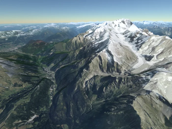

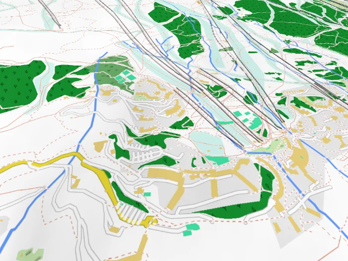
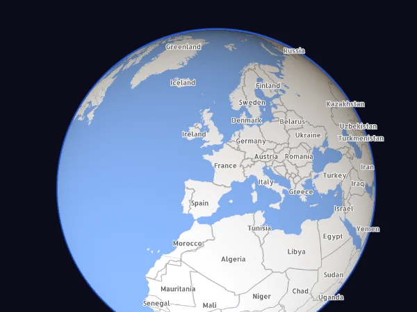
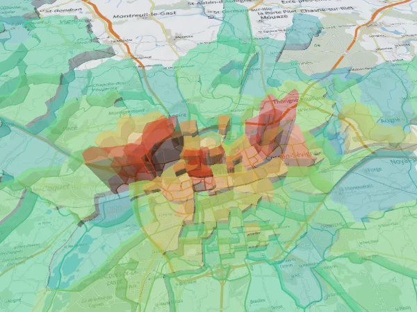


Visualize, analyze and share your geographical data in 3D
directly in your browser or native application.
Contenu à venir
Features
Horizon covers the full rendering stack (terrain, vectors, 3D models, interactivity) in a single engine optimized for geospatial data.
Platform
Built on native technologies and WebAssembly, Horizon runs on Windows and Linux via OpenGL 3, and in any modern browser via WebGL 2. C++ and TypeScript APIs are available, and the Protocol Buffers-defined interface makes Horizon usable from any language.
Use Cases
Horizon adapts to projects of any scale: city-wide infrastructure,
field analysis tools, simulation dashboards, or embedded web maps.
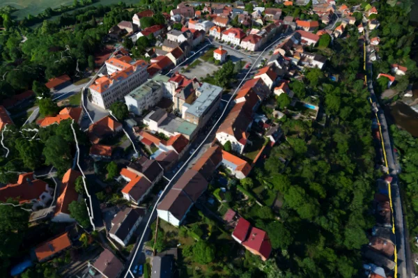
Navigate city-scale 3D Tiles with LODs, dynamic material overlays, and live data feeds.
Overlay colorized raster results on terrain, display 3D heatmaps, and animate flow data to communicate simulation outputs clearly.
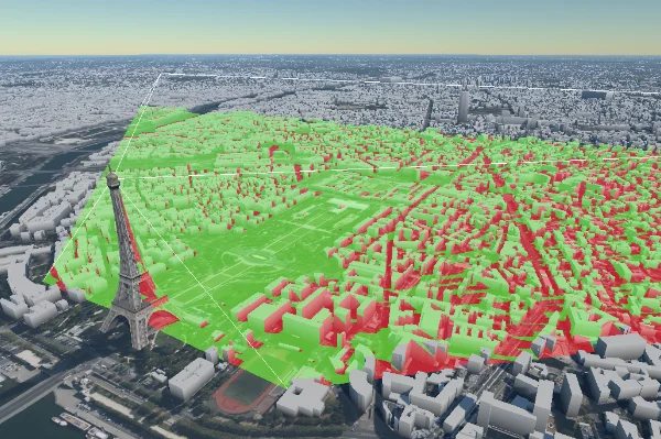
Viewshed analysis, shape editing, picking and measurement. Professional GIS tools embedded directly in the 3D view.
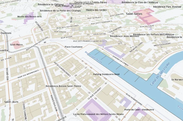
Embed a 3D map into any webpage with a transparent background, scriptable styles, and full rendering control.
Ready to build?
Browse the documentation to get started, or contact our team for a personalized demonstration or pilot integration.
Contact Us
